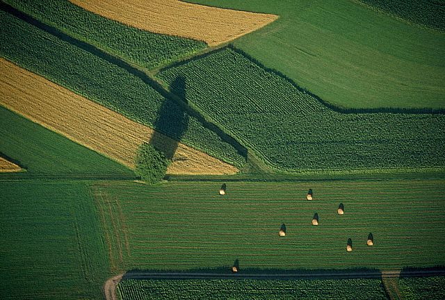
It's a useful thing to have an aerial map of the farms you work, especially when talking with a farmer about his property or adjoining fields.
For free aerial pictures and topographics maps of your farms (or your house) click on the link below: http://terraserver-usa.com/cmap.aspx?src=0&ppd=1&r=4&c=3&W=0&ClickAt=?0,0
Enter your farm's zip code to get the approximate location and zoom in and out from there.
You can save the shot by right-clicking and you can print them out as well. Another source is: http://www.terrafly.com Enter any address in the U.S., and you can see it from the air, and zoom in with some detail. To get a photo here, however, you have to pay a small fee.
Knowing where water and woods are in relation to field crops, roads, and outbuildings can often give you an idea of where fox and racoon may be bunkered up.
I keep my permissions and aerial maps together, taped up underneath the lid of my veterinary box which is always in the car when I hunt the dogs.
No comments:
Post a Comment